
The 7th AfriGEO Symposium: Exploring the Power of Earth Observations for Sustainable Development.
- Laura Mugeha, Frank Anderson and Kumbirai Nichola- YouthMappers Alumni
- Nov 13, 2023
- 8 min read
Updated: Jan 21, 2025
The power of conferences lies in their ability to bring together individuals from diverse backgrounds, united by a common interest. The 7th AfriGEO Symposium, held in Swakopmund, Namibia, was no exception. With a focus on Earth Observations (EO), the symposium offered a captivating glimpse into the ever-evolving EO field and its profound impact on our understanding of the world.
The symposium was a hub of knowledge and innovation, where experts, researchers, and enthusiasts gathered to discuss the latest developments, share insights, and explore the potential of EO technologies. It was an opportunity for attendees to gain new perspectives, make connections, and learn from one another.
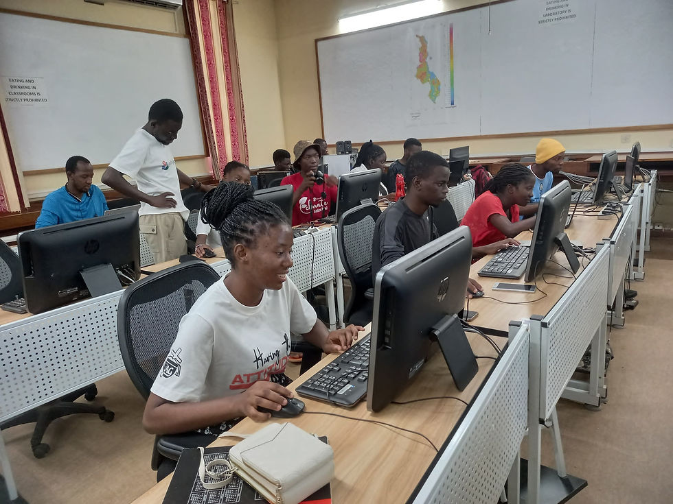
AfriGEO Symposium Highlights; Photo Credit: AfriGEO.
In this blog, YouthMappers alumni Kumbirai, Frank and Laura share their experience participating in the symposium.
Can you describe the symposium using just three words and an emoji?
Frank: Disrupting, Awakening and Capacitating 😎.
Kumbirai: Engaging, Fun and opportunistic 😊.
Laura: Insightful, Collaborative, Enriching 💡
Before the symposium, there were pre-conference workshops and hands-on training sessions. Could you tell us which trainings you participated in and what was covered?
Frank: I was honoured to participate in the GEO-LDN training. GEO-LDN generally refers to Land Degradation Neutrality. Therefore, the training covered a wide range of open-source tools and software, as well as open methodologies to consider while estimating a country's level of efforts towards reaching land degradation neutrality. Moreover, the essence was to capacitate on how those tools can be used for research and development, building cutting-edge innovation, and, most importantly, measuring the status of land degradation in the country context for reporting to the UNCCD.
Kumbirai: Unfortunately, I did not manage to attend any training as I was between places trying to settle within the new place, but I heard people talking and sharing about the exciting cloud computing technology for Earth Observation data that was being taught and shared by Digital Earth Africa.
Laura: I participated in the Digital Earth Africa Training. Digital Earth Africa is at the forefront of providing routine, reliable, and operational services using Earth observations to generate decision-ready products. These products play a vital role in empowering policymakers, scientists, the private sector, and civil society to effectively address a spectrum of critical issues related to social, environmental, and economic changes across the African continent. The workshop was a deep dive into the world of Digital Earth Africa, where we explored the extensive range of products, services, and tools at our disposal. One of the most engaging aspects of the training was the exploration of various use cases of Digital Earth Africa. We delved into real-world applications of DE-Africa in fields such as agriculture, water resources management, urbanisation, and combating land degradation. This hands-on experience was truly eye-opening, as it showcased the tangible ways in which Earth observations can be harnessed to create positive change in our communities.

The symposium had a wide range of sessions, from integrated decision-making to nature-based solutions. Can you highlight a session that particularly stood out to you and share the key takeaways?
Frank: Of course, there were many sessions, but from the lens of forensic science, they were all focused on decision-making as an end goal. This means the session 'Integrated Decision Making' was particularly interesting to me because the future lies in the integration of everything to make the world a better place. My key takeaway is that satellite data can be integrated with anything, anywhere, and in any way, enabling us to architect an inclusive decision-making process.
Kumbirai: Apart from having a bias towards the Youth Session, another session that stood out for me was the session titled: "Namibia Development Challenges and Solutions Offered." This session specifically focused on shedding light on the challenges faced by Namibia and the diverse range of solutions provided by different partners to address these challenges. The partners involved in these efforts encompassed a wide scope, including national, regional, and global entities collaborating with institutions within Namibia.
The session highlighted how:
Collaboration and Partnerships play a vital role within communities and to the nation at large. Bringing all stakeholders to provide and profer solutions has assisted the nation to develop and build faster despite the growing challenges
Identifying the Gaps and seeking local talent assisted the various communities to build resilient and sustainable solutions that are also community-driven for better development.
Laura: The EO for Grassroot Service Delivery session really stood out for me. This session offered a fascinating perspective on how EO is being leveraged to provide essential services and support for end-users who may not have in-depth knowledge of EO but can benefit significantly from its reliable information. From empowering smallholder farmers by Agribora to protecting Land Rights from Space by Spatial Sense Inc., this session highlighted the transformative potential of EO in advancing community development.
You all participated in the conference as speakers. Could you share briefly what you presented?
Frank: My presentation was entirely focused on integrated decision-making, specifically on how we can enhance the response capabilities of the community towards flooding disasters. I emphasised that 'Citizen science means involving YOU - the community - in collecting data, sharing knowledge, and working together towards solutions. By combining this grassroots approach with the latest advancements in hard science and technology, we're taking a giant leap towards creating effective strategies to mitigate flood risks.

Kumbirai: My presentation titled: “Empowering African Youth in Earth Observation - Unlocking Opportunities and Overcoming Challenges” was about bringing the youth voices to the platform by sharing their challenges and experiences in taking up initiatives within the EO space. This was coupled with recommendations and strategies that were all community and collaboratively driven by the youth and experts through a case study that drew information from youth in over 28 countries across the continent. The central focus of the presentation was to foster a dialogue on the inclusion of youth in policy, innovation support, and securing the present and the future while engaging various stakeholders and players in the EO space.

Laura: During my presentation titled "Rising Voices: YouthMappers Transforming Africa through Earth Observations," I highlighted the positive impact that Africa's youth can have in driving transformative change within the continent. Through various examples, I discussed how geospatial data and technologies have become increasingly accessible, making it possible for students and young professionals to actively engage in understanding and addressing the complex challenges faced by their communities and the world.

The YouthMappers community has a strong focus on building skills and capacity among young geospatial enthusiasts. Did you come across any learning opportunities and capacity-building initiatives that YouthMappers can participate in?
Absolutely! There are some fantastic opportunities for YouthMappers to enhance their skills and capacity. One notable avenue is our ongoing collaboration with Digital Earth Africa, which is an invaluable resource for our chapters. ESRI's Africa Geoportal is another valuable platform that offers a wealth of datasets, resources, and opportunities tailored to students on the continent.
YouthMappers chapters can actively engage in the annual Africa Earth Observation Challenges, which provide an exciting platform to put their skills to the test and make a real impact. Additionally, they can contribute to various consortia through the GMES and Africa project, playing a vital role in advancing Earth Observation initiatives across the continent. These initiatives can enhance individual skills and allow our community to make meaningful contributions to the field, furthering our mission of empowering youth in geospatial sciences.
Lastly, what advice or insights would you like to share with fellow YouthMappers who may be considering attending and participating in similar conferences in the future?
Kumbirai: Attending conferences is rewarding and offers opportunities to connect, learn, and contribute. Be open to learning and absorbing new information through sessions and conversations—network with professionals and fellow YouthMappers for collaborations and lasting connections.
Showcase your work and insights at conferences to inspire others. Have confidence in your abilities and make your voice heard. Embrace the overall conference experience, engage in social activities, and explore the host city. Conferences foster personal growth, connections, and inspiration. Be proactive and enthusiastic, and make an impact in your field through conference participation.
Frank: I was once told to be attentive during presentations and maintain an optimistic mindset to learn, perceive, and engage in meaningful discussion. Networking is essential in life. Presentations serve as a valuable source of insights on how to execute tasks proficiently. Often, within presentations lies the potential for billion-dollar products or services.
Laura: As a YouthMappers student, attending conferences can open doors to endless possibilities. You'll have the chance to build meaningful connections with experts and like-minded peers while immersing yourself in a dynamic learning environment that will help you stay up-to-date on the latest geospatial trends and technologies. Conferences also offer a platform to showcase your youth-led projects and initiatives, inspiring others and fostering potential collaborations. Your unique perspective as a youth is essential, and actively participating in such forums can help you play a pivotal role in shaping the future of geospatial technology and the world.

About the Authors:
Kumbirai Nichola.
Kumbirai is a dynamic and forward-thinking youth currently positioned at the convergence of geospatial technology and sustainable development, fostering transformative change through various strategic initiatives. Presently serving as a GIS Intern with the Higherlife Foundation, his focus centers on harnessing geospatial technology and its multifaceted applications to propel the philanthropic endeavours of the organisation. In addition to his role at the Higherlife Foundation, Kumbirai is the visionary force behind African Surveyors Connect, a nonprofit, community-centered organisation devoted to equipping young minds with essential professional skills, facilitating networking opportunities, and fostering a culture of innovation. His expansive portfolio spans numerous projects and initiatives, all aimed at advancing the Sustainable Development Goals (SDGs) locally and globally.
Frank Anderson.
Frank Anderson is an environmental specialist and data scientist at Global Water Partnership Tanzania with skills and competence in “soft” areas such as multi-stakeholder engagement and communication as well as in “hard” areas such as front-end web development, advanced data analysis, visualisation, and machine learning. He has over four years of experience in undertaking geospatial analysis for hydrological and hydraulic analysis. His interests are in developing data-driven solutions to address complex WASH and Water Resources Management challenges in a changing climate and youth coordination in harnessing the power of open data and open tools to enhance adaptation to the impacts of climate change. Frank was recently appointed as the National Focal Point (NFP) for the United International Federation for Youth in Water and Climate Coalition (UN1FY) under the World Meteorological Organization (WMO). As NFP, he is mandated with collecting, articulating, presenting, and advocating for the youth agenda in prioritising future policies, projects, and programme development to address SDG 6 and SDG 13.
Laura Mugeha.
Laura is a Geospatial engineer and technical community manager working at the intersection of open data, free and open-source software, and sustainable development. She is currently a Community Coordinator at Code for Africa, managing africanDRONE and sensors.AFRICA project and community activities. These initiatives pioneer the use of drones and sensors for climate change and deforestation monitoring, water & air quality, pollution detection in African cities, and open data collection and mapping. Before joining CfA, she worked at a Kenyan social enterprise to support teams scaling sanitation and regenerative agriculture in Kenya to adopt data for good. In her free time, Laura volunteers with tech communities. She has been a YouthMappers regional ambassador for the last four years, supporting student-led and faculty-mentored university clubs in East and Central Africa to use open mapping and GIS for community development. She is one of the Geospatial World Rising Stars(2021) and was one of the top 5 finalists for the Kenya Drone Business Challenge 2023.


Kedinizin sağlığı için en iyi seçim! Kaliteli ve uygun fiyatlı kedi mamalarını keşfedin. Güvenle alışverişin keyfini https://mamadunyasi.com.tr/ ile yaşayın.
VOZOL elektronik sigara ile dumanı azaltın, lezzeti arttırın! Uzun ömürlü pil, şık tasarım, doğal buhar deneyimi. Hemen keşfedin!