
COLLABORATIVE MAPPING OF THE CAATINGA AT SCHOOL
- Bruno Leonardo Gonçalves e Castro and Renato Leone Leda
- 4 hours ago
- 4 min read
Acknowledgement: This post was delayed in publication and may contain outdated information. We appreciate your understanding.
Collaborative mapping incorporates a new perspective of access, use and application of cartographic science tools and methods through the numerous interface possibilities made possible by Information and Communication Technologies (ICT), which opens new horizons for the act of mapping, so that users of products and applications in the field of geotechnologies, in an open and democratic way, also become producers and reviewers of geospatial information shared on the WEB, making it possible to achieve collectively constructed social objectives, deepen knowledge, strengthen the ties of subjects facing their spaces of living and interaction on a local scale, identify and diagnose local problems and involve social issues in the search for solutions.
Cartography allows the representation of space while also enabling modification.
As stated by Hirata et al. (2013), there is a growing trend towards the use of cartographic data obtained collaboratively and voluntarily. This concept is based on the Social Cartography approach, whose practices "consider participation as a component of the methodology and provide opportunities for representations of places that highlight the perspective of local communities in their cultural aspects" (Rodrigues et al., 2017).
In this sense, the Mapping of the Caatinga in Schools project aimed to contribute to the training of undergraduate students as tutors and high school students as learners and multipliers of collaborative actions to learn about the Caatinga Biome and map local vegetation, as well as plant species of interest to the community for sustainable management.
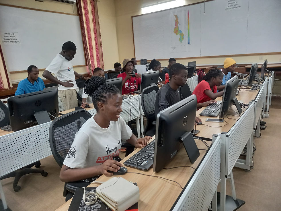
The activity was developed with the preparation of undergraduate monitors from the geography course at Campus XI of the State University of Bahia (UNEB) by members of the YouthMappers Serrinha chapter. After studying tools such as OpenStreetMap and learning about the Caatinga Biome, the main plant species that occur locally, and the importance of conserving the biome and its sustainable use, the teachers and undergraduate students conducted a training process for high school students from Colégio Estadual Professor Carlos Valadares, in the city of Santa Bárbara in Bahia, a municipality that is part of the semi-arid region of the state.

The training of high school students as multipliers of the mapping of the Caatinga went through three stages: learning about collaborative mapping tools at the Digital Cartography and Remote Sensing Laboratory (LACARD); learning about the Caatinga and its species through field activities using equipment such as GPS and the OsmAnd and Mapillary applications; and the third stage returning to LACARD to complete the collaborative mapping.

This experience was extremely productive, with the exchange of knowledge between students and monitors and teachers about local species that contributed to the knowledge of the Caatinga.
The meaning of the name "Caatinga" comes from Tupi-Guarani and means "white forest." This is due to the characteristics of the vegetation in this ecosystem, whose leaves fall during the dry season.
Around 28 million people live in the Caatinga, which alone would justify the proposed activity. Furthermore, the interest in mapping the Caatinga by high school students is due to the local interest in developing the production of cosmetics from Caatinga species, in addition to discovering new unconventional plants from the Caatinga for consumption.
It is known that the Caatinga is the most threatened biome in the country, and being genuinely Brazilian, the biome has been constantly degraded, and to make matters worse, it is the biome with the least studies including botanical aspects among the other biomes in the country. According to Giulietti et al. (2004), it is a biome with a great variety of vegetation types and a high number of species with a significant number of rare and endemic taxa. The greatest diversity is associated with higher altitudes, as these are areas of greater protection during the climate fluctuations of the Quaternary Pleistocene (between 2.5 million and 11.7 thousand years ago). For mapping Caatinga species, altitude data conditions such as hypsometry and contour lines are important for research on the biome. During the field activities, hillside areas in conditions of greater preservation were covered, which contributed to the identification of species.
The MapBiomas project stated that the Caatinga has been extensively degraded for 37 years (1985 to 2021). 25% of the biome has been manipulated by human actions, with 15% of the biome consumed by burning, totaling 13,770 hectares. 10.54% of the natural areas were suppressed, representing 6 million hectares. Therefore, we understand that it is possible to understand the Biome through collaborative mapping, which can influence young mappers' understanding of the distribution of species and phytophysiognomies to determine the location.


YouthMappers Serrinha Members and High School Students
About the Author
Bruno L. G. e Castro - holds a degree in Geography from the Pontifical Catholic University of Minas Gerais - PUC-MG (2001), a Master's degree in Environmental Planning and Management from the Catholic University of Brasília - UCB (2008), a Master's degree in Geography from the University of Brasília - UnB (2009) and a PhD in Applied Geosciences from the University of Brasília - UnB (2014). He is a Full Professor at the State University of Bahia, where he teaches Cartography, GIS and Remote Sensing. He is the coordinator of the Digital Cartography and Remote Sensing Laboratory (LACARD), coordinator of the Lato-sensu Postgraduate course in Environmental Analysis and Sustainable Territory Management (PPAGT) campus XI, leader of the research group Environment, Sustainability and Landscape Group (GASP), editor of the AyikA Magazine and coordinator of Youthmapper Serrinha.
Renato Leone Miranda Léda - He holds a bachelor's degree in Geography from the Federal University of Bahia (1987), a specialization in educational research from the Federal University of Paraíba (1988), a master's degree in Geography (Human Geography) from the University of São Paulo (1995) and a PhD in Geography from the Federal University of Rio de Janeiro (2003). He is currently a full professor at the State University of Southwest Bahia. He has experience in the area of Geography, with an emphasis on Regional Analysis, and is currently developing research on the historical formation of the regions of Bahia. He also works in the fields of public policy, regional and local development, land management and tourism geography.


Comments