
Successful Open Field Mapping Activity Led by YouthMappers at Eastern University, Bangladesh
- Noman Bin Hossain
- Jun 12, 2025
- 2 min read
Updated: Jun 13, 2025
Date: May 16, 2025
Location: Road 6, Block B, Ashulia Model Town, Khagan, Birulia, Savar, Dhaka
Tool Used: Mapillary (https://www.mapillary.com/app?pKey=1380508863166798)
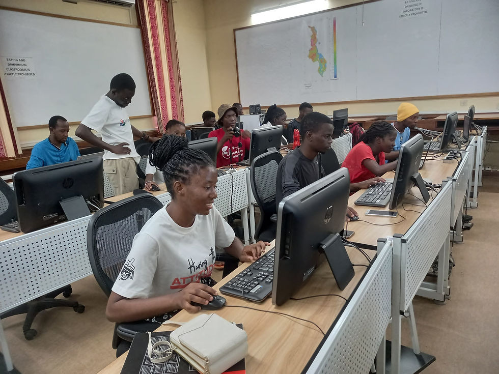
On May 16, 2025, the YouthMappers at Eastern University successfully conducted an impactful Open Field Mapping Activity in Ashulia Model Town, Savar, using the Mapillary platform. This initiative was proudly led by our enthusiastic club president, Noman Bin Hossain, in collaboration with Md. Atikuzzaman Limon, Deputy Director (Creative Section) & Open Mapping Guru, AP Hub.
The core objective of this field activity was to capture and share street-level imagery of under-mapped and rapidly developing regions. The target area is undergoing significant infrastructure development, including universities and housing projects, but lacks proper street-level geospatial data.

Initially, we faced a major technical challenge—Mapillary's traditional mapping cameras are restricted due to local regulations. However, we overcame this issue by leveraging smartphone cameras to gather the needed imagery, ensuring continued data contribution even under constraints.
Our field team included:
Noman Bin Hossain – Open Mapping Guru, AP Hub, and President, YouthMappers at Eastern University, Bangladesh.
Bayazid Ahmed – Open Mapping Guru, AP Hub, and General Secretary, YouthMappers at Eastern University, Bangladesh.
Md. Atikuzzaman Limon – Open Mapping Guru, AP Hub, and Deputy Director, Eastern University.
K. M. Monirul Islam – Deputy Director, Office of Student Affairs, Eastern University.
And a dedicated team of YouthMappers at Eastern University, Bangladesh members.

Photo by Shanur Sakib Khan Rahad and Md. Jabir Ibne Haiyan, YouthMappers at Eastern University, Bangladesh.
This event showcased real-time data collection, community collaboration, and practical application of open geospatial tools. The captured imagery was uploaded to the Mapillary platform, enabling global access and use in mapping tools like OpenStreetMap.
A Note of Gratitude
We sincerely thank all participants, supporters, and mentors who contributed their time and effort. Your contributions are helping build a more visible and inclusive world through open data!
About the Author
Noman Bin Hossain is a passionate and skilled contributor to OpenStreetMap (OSM) from Bangladesh. Currently pursuing a B.Sc. in Computer Science and Engineering at Eastern University, Noman is deeply involved in mapping, technology, and youth empowerment. As an Open Mapping Guru in the Asia-Pacific region, he actively contributes to humanitarian mapping, disaster response, and geospatial technology initiatives. Noman also serves as the President of YouthMappers at Eastern University, where he leads community-driven projects that leverage GIS for sustainable development and open data solutions.
Stay connected for more updates and join our mission to map the unmapped!


The game snow rider requires players to quickly avoid obstacles like trees and rocks. This helps train faster reactions and better hand–eye coordination.