
Rwanda Radiant Earth Foundation Geospatial training and workshop on Remote Sensing
- Erneste Ntakobangize, University of Rwanda
- May 9, 2019
- 3 min read
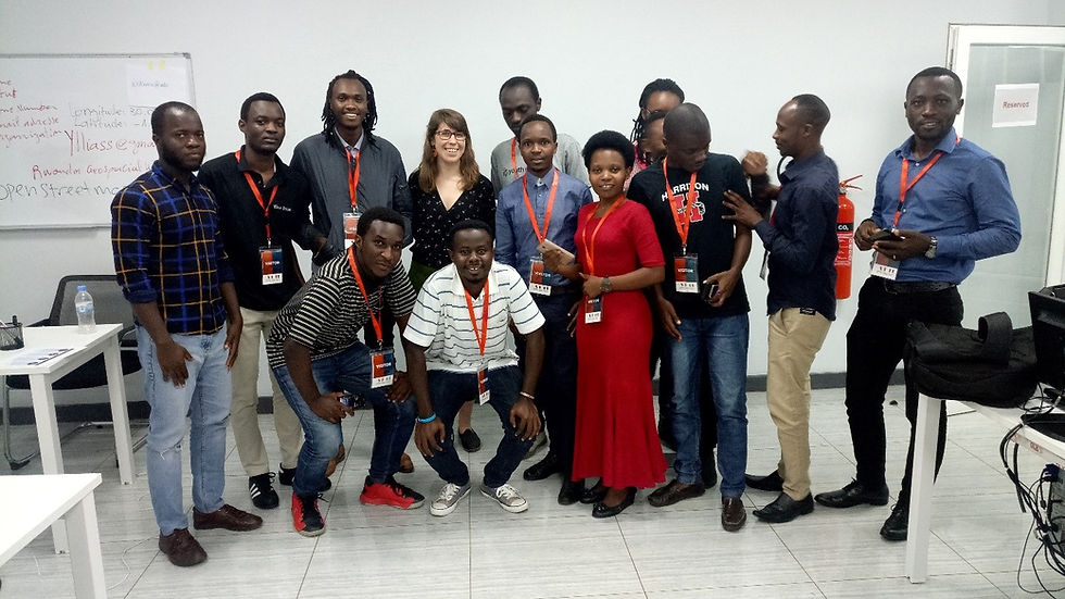
From 23rd to 26th April 2019 Radiant Earth Foundation hosted an amazing Geospatial Workshop and training on Remote Sensing held in Kigali, Rwanda specifically in the Kigali Height building. The workshop was coordinated by Anna Mae Green, Community Engagement Associate, and Luisa Nakanuku–Diggs, Marketing & Communications associate at Radiant Earth Foundation. The workshop gathered YouthMappers, students from different universities in Kigali and other people engaged in Geospatial technology and open data. The event began with a public talk where on the panel were people from different organization interested in Geospatial technology including government representatives like Ministry of Agriculture and Ministry of Innovation. YouthMappers, as a partner of Radiant Earth Foundation, we were very proud of their Remote sensing platform that I believe to be the most wonderful and useable one ever.

During the workshop I have really seen that YouthMappers are agents of change, who are taught to use geospatial data techniques to transform their societies and make them a better place. I say this because when I was looking at how people were not aware of OSM, all the people were very surprised by the way OpenStreetMap is useful. What was amazing was that only YouthMappers were aware and able to use it! YouthMappers and Radiant Earth Foundation workshop facilitators taught the attendees to use it. Together, we created the usernames for them and made a Mapathon where we mapped the Rubanda region. It was so amazing! People were so interested. We made 4,132 change sets during Mapathon.


Good job to Rwanda YouthMappers who participated in the workshop! Congratulations to YouthMappers who taught us and introduce OSM in Rwanda! Before YouthMappers, not one of us had used it previously. At the end of the workshop many people were interested in YouthMappers activities. We were given the time to present what is YouthMappers, what we do and why we do it. After the workshop all attendees have asked to join our community and students from other universities had decided to open their own chapters! We have promised them all possible help and to visit them for more clarification. Rwanda YouthMappers have a mapathon of this coming Friday and many people have asked to join us to keep learning
During this workshop we learnt different technologies used in open sources including QGIS, Global International Data collection platform, Radiant Earth Foundation platform and presentation skills. All of these skills are very important to develop the future generation that will shape the word we need. As Director General of ministry of innovation Gordon Kalema said, "Data is crucial for making our world very brighter. Africa, especially Rwanda, needs more people like you who always fight for change and creating positive impact for community development and problem-solving. Open data is very important direction in creating a hyper-connected future Rwanda."
The experience from the workshop is that in Rwanda many people are in need of data especially open sourced data. People need free software and a lot of people need to know OpenStreetMap on a daily basis. The world, especially Rwandans, need good geospatial special technologies for mapping like OSM and Radiant Earth Foundation Platform to make an impact and problem solve. RwandaYouthMappers is guaranteed to help everyone who needs develop his geospatial skills in this field.

At the end of the event, Radiant Earth Foundation gave us certificates of completion and as Anna Mae Green said, "YouthMappers have played a great role in this event we deserved this and we will be the ambassadors of this platform specifically for people who need to make positive change."
Let's take this opportunity to express our thanks to YouthMappers to have empowered us and opened our eyes on global geospatial technology. Without it nothing should be done. I also thank YouthMappers for the greatest important thing that they have done for me - widened my international social network, thus connecting me to resourceful persons who are ever ready to support and guide me in solving the challenges that are faced in my society and the world as a whole. I do believe that the future is in our hands. Let’s make the word very bright! Hopefully the word will be fully mapped and connected through our YouthMappers community.

Erneste Ntakobangize is a representative of RwandaYouthMappers, a recent graduate from the University of Rwanda in the College of Science and Technology in the department of Geography, focusing on urban and regional planning. He is a 2019 YouthMappers Leadership Fellow, a professional intern in the Center of Geographical Information System and Remote Sensing CGIS/UR in the same university. He is starting an MSc program in September at the University of Rwanda. He is very proud to be par of the YouthMappers community and his aim is to make an impact through mapping for community problem solving.


Comments